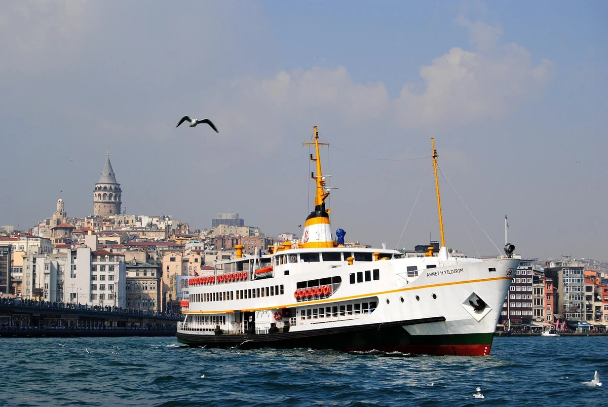
Scenic Istanbul Walking Routes for First-Time Visitors
For your first relaxed walk in Istanbul, choose Kadıköy and Moda for cafés and sea air, Salacak for the skyline, or Kuruçeşme to Bebek for the Bosphorus. Each gives you a different view of the city without filling the day with ticket queues.
Choose one walk for the day. Start with the shorter version and leave time for transport, stops and the journey back.
- Underfoot
- Check access for your needs
Which Istanbul walk should you choose?
These eight walks are alternatives for different days. Pick one, leave time to stop, and check the journey back before setting off. Istanbul is spread across two continents: a short walk can still involve a substantial trip from your hotel.
| If you want… | Choose | Why |
|---|---|---|
| Your first easy afternoon | Kadıköy–Moda | A ferry arrival, food stops and a short version you can finish comfortably. |
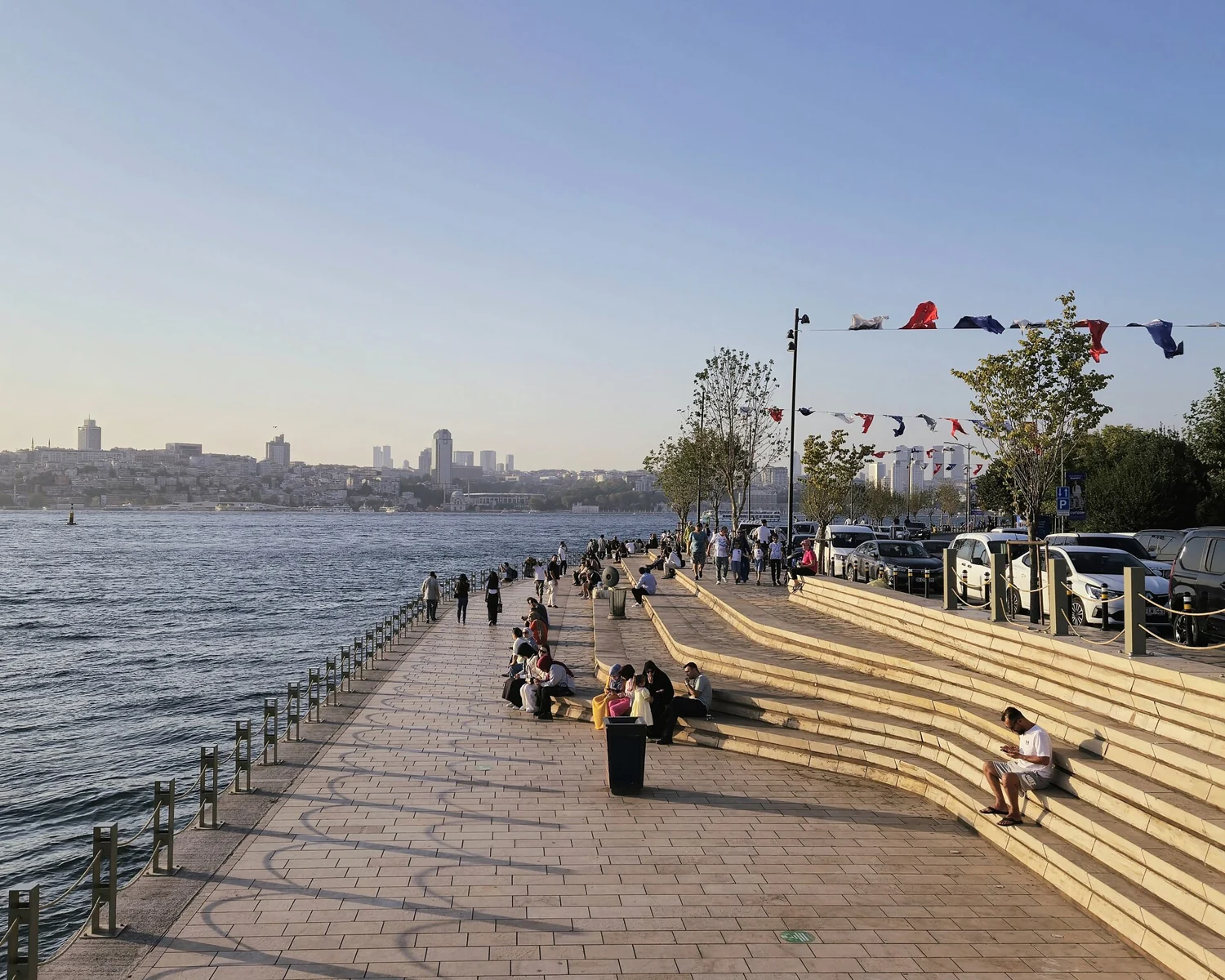
| The classic skyline at sunset | Salacak–Üsküdar | The Maiden’s Tower and views towards the historic peninsula. |
| A Bosphorus walk | Kuruçeşme–Arnavutköy–Bebek | Waterside neighbourhoods with clear places to pause or finish. |
| An open seafront with fewer hills | Caddebostan coast | A park-and-promenade walk along the Sea of Marmara. |
| Historic streets and photography | Balat–Fener | Colourful houses, waterfront views and a compact neighbourhood outing. |
| A longer nature escape | Belgrad Forest: Neşet Suyu | A forest circuit worth giving its own half-day, including transport. |
Eight walks, one Istanbul map
Follow the coloured lines along the coast, through the neighbourhoods and into the forest. Choose a walk to see it up close.
Use the numbered route descriptions and Google Maps links below. Show the map to explore the walking paths.
Use the numbered route descriptions and Google Maps links below. Show the map to explore the walking paths.
- 1. Caddebostan coast
- 2. Kadıköy–Moda–Fenerbahçe
- 3. Kuruçeşme–Arnavutköy–Bebek
- 4. Salacak–Üsküdar–Kuzguncuk
- 5. Balat–Fener–Golden Horn
- 6. Belgrad Forest / Neşet Suyu
- 7. Tarabya–Rumeli Kavağı
- 8. Yenikapı–Ataköy coast
Lines show suggested walking paths. Follow signs and any diversions on the day. For the forest circuit, follow the posted Neşet Suyu trail signs.
Before you set off
Distances are approximate for the named walk; time allowances are planning estimates. Transfers, longer meals and attraction visits can add to your day. Google Maps may suggest inland streets: use the route description to stay with the intended coastal walk.
Know which water you are walking beside
The Bosphorus separates the European and Asian sides. The Golden Horn is the inlet beside Fener and Balat. Caddebostan, Moda and the Yenikapı coast face the Sea of Marmara. You will see different scenery on each; a sea view does not automatically mean a view of the Bosphorus bridges.
Make the journey part of the plan
For Kadıköy and Üsküdar, check Şehir Hatları’s current ferry routes from your side of the city. Marmaray, the suburban railway that crosses beneath the Bosphorus, is useful for several coastal areas. Use the official rail map and İETT journey planner for your hotel-to-start journey. Ferry piers and timetables can change, so check the destination sign before boarding.
Walk at a comfortable time
On warm days, start earlier or save a shorter coastal walk for late afternoon. Carry water, wear shoes you can walk in and bring a layer for exposed shores. After rain, steep streets and forest paths need more care. Keep clear of cycle lanes and use marked road crossings.
Choose the shorter version when you need it
A level-looking coastline does not guarantee a fully step-free journey. Paving, kerbs, steps, crowded sections and station access vary. With a pushchair or limited mobility, choose a short section, check your specific access needs and keep a return option nearby. In residential streets, photograph buildings respectfully and leave doorways clear.
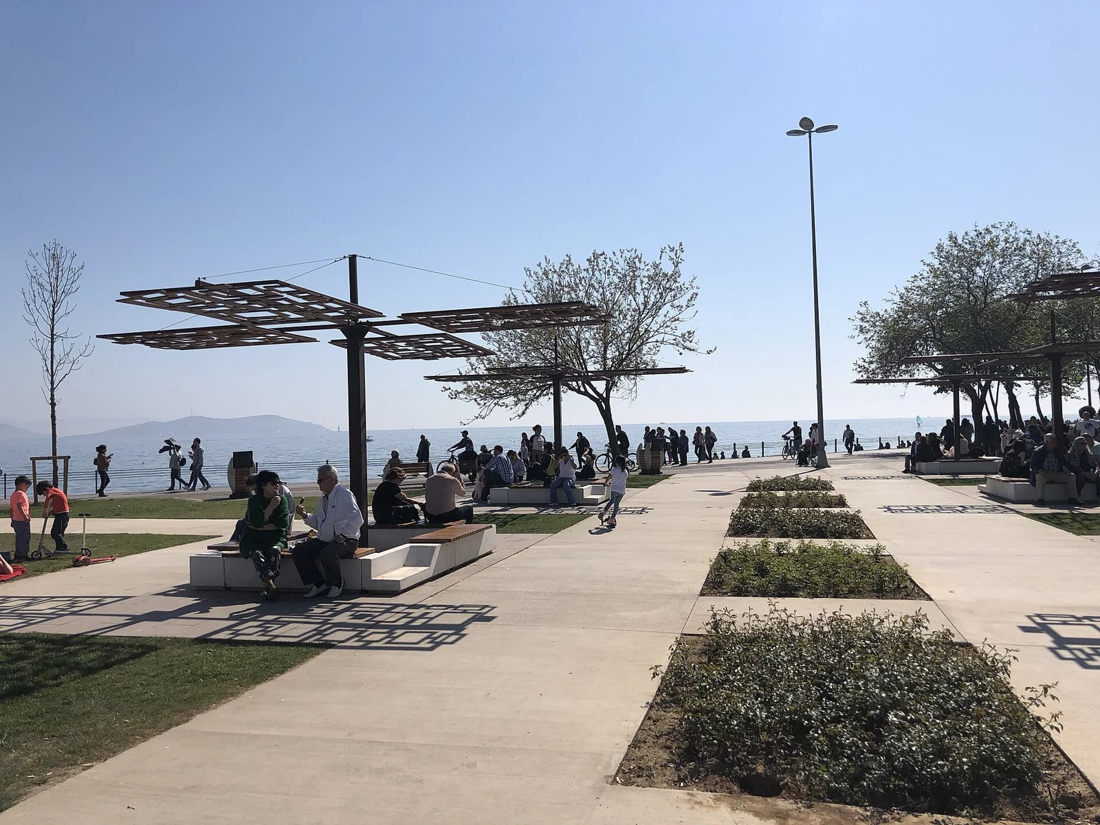
Caddebostan coast: an open-air Marmara walk
Choose this for space, sea air and a straightforward coastal afternoon on the Asian side.
- Distance
- Allow roughly 4–5 km one way
- Allow
- Around 1–1½ hours walking; allow 2 hours with stops
- Start
- Caddebostan shoreline near Ragıp Paşa Mansion
- Finish
- Bostancı ferry-pier area
- Underfoot
- Mostly level coastal paths; shared-use sections and local diversions
How to get there
Erenköy Marmaray is inland from Caddebostan; allow a separate walk or onward ride to the shore. Bostancı Marmaray is a useful return option. You can also reverse the walk and start at the Bostancı end.
Your walk
Join the public seafront near Ragıp Paşa Mansion and head east towards Suadiye and Bostancı. The point of this walk is the water and the open parks: look towards the Princes’ Islands, pause on a bench and give yourself permission to finish before the endpoint.
Caddebostan and neighbouring Suadiye have coastal parks, walking and cycling paths, and small beach areas. You do not need to add a swim to enjoy the shore. For food or a café, step inland rather than assuming every part of the waterfront has a convenient stop. Follow any signed diversion around works.
Keep it shorter. Walk for 30 minutes from your access point, then return along the same open section. This gives you an easy one-hour walk without arranging a second transport connection.
Before you go: The shore is exposed to sun and wind. Beach access and swimming conditions are separate from access to the public walking paths.
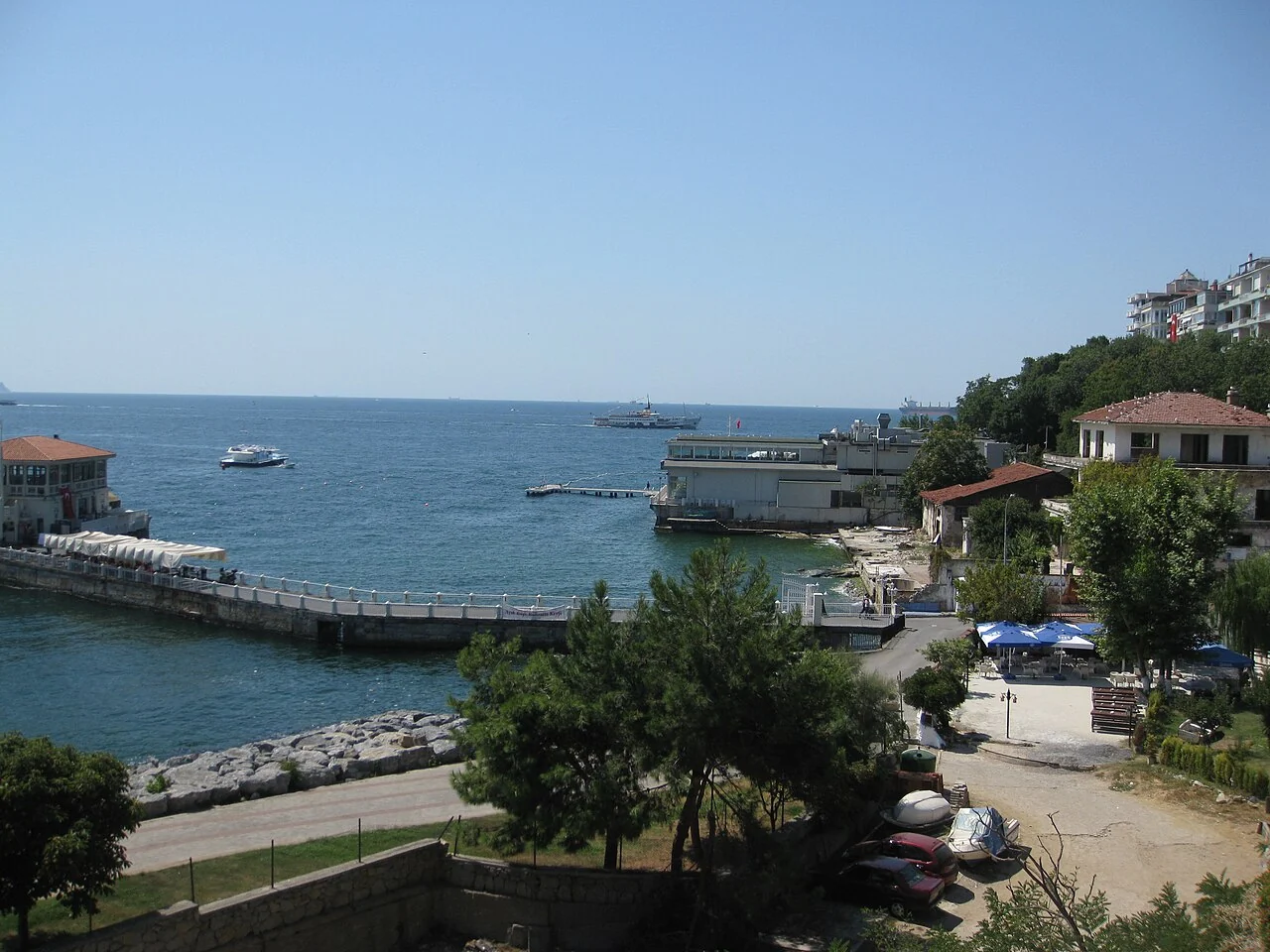
Kadıköy–Moda–Fenerbahçe: food stops and sea views
Our first-visit pick is the shorter Kadıköy–Moda walk; continue to Fenerbahçe if you want a longer outing.
- Distance
- Allow roughly 6–7 km for the full walk
- Allow
- Around 1½–2 hours walking; allow 3 hours with food stops
- Start
- Kadıköy ferry-pier area
- Finish
- Fenerbahçe Park
- Underfoot
- Neighbourhood streets, coastal paths and inland links around bays and marinas
How to get there
Take a ferry to Kadıköy if the route suits your hotel. The M4 metro also serves Kadıköy. From Fenerbahçe, plan an onward bus or taxi journey; do not assume the park has a regular ferry back to your starting pier.
Your walk
From the pier, walk through central Kadıköy towards Moda. Make room for a bakery, a coffee or lunch before following the coast. This is a good choice when you want to spend time in a neighbourhood rather than move between major monuments.
The longer version continues towards Kalamış and finishes in Fenerbahçe Park, where benches and coastal paths look out over the Marmara. Use the street connections around the bays and marina areas. Kadıköy, Moda and Fenerbahçe are linked by a walkable neighbourhood route, but the entire journey is not one uninterrupted waterside promenade.
Keep it shorter. Finish in Moda after roughly 2–3 km of exploring. Spend the saved time by the water or return through the neighbourhood streets to Kadıköy.
Before you go: The full version needs more time and a separate return plan. Choose Moda as your endpoint if you are tired after sightseeing or want to stay close to the ferry hub.
Kuruçeşme–Arnavutköy–Bebek: the Bosphorus close up
A manageable European-side Bosphorus walk with waterfront neighbourhoods and a park at the finish.
- Distance
- Allow roughly 3–4 km one way, with short detours
- Allow
- Around 1 hour walking; allow 1½–2 hours with stops
- Start
- Kuruçeşme Park waterfront
- Finish
- Bebek Park
- Underfoot
- Coastal pavements and park paths beside a busy road
How to get there
Check İETT buses from Kabataş or Beşiktaş to Kuruçeşme; the official 22 route serves the area. At the Bebek end, Aşiyan’s F4 funicular connects with the M6 metro uphill, with an additional coastal walk to reach it.
Your walk
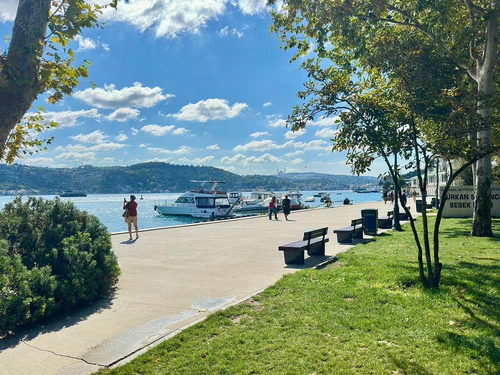
Head north from Kuruçeşme towards Arnavutköy, then continue to Bebek. This order follows the coastline without doubling back. Look across the strait for passing ferries and other vessels, and leave time to look at Arnavutköy’s waterside façades.
Finish around Bebek Park and choose a café if you want to linger. Some stretches are narrow and close to traffic; move inland or use the pavement where the immediate water’s edge is unavailable. A map line along the coast is not a promise of a wide pedestrian promenade throughout.
Keep it shorter. Start at Arnavutköy and finish at Bebek, or stop in Arnavutköy after the first part. Either keeps the walk compact.
Before you go: This Arnavutköy is the Bosphorus neighbourhood in Beşiktaş, not the distant Arnavutköy district near Istanbul Airport. Confirm the map destination before travelling.
Salacak–Üsküdar–Kuzguncuk: skyline and neighbourhood streets
Choose Salacak for the Maiden’s Tower view, then continue north for a neighbourhood afternoon in Kuzguncuk.
- Distance
- Allow roughly 4–5 km, including a small Kuzguncuk detour
- Allow
- Around 1–1½ hours walking; allow 2–3 hours with stops
- Start
- Salacak waterfront opposite the Maiden’s Tower
- Finish
- Kuzguncuk’s İcadiye Street near the waterfront
- Underfoot
- Coastal pavements, road crossings and neighbourhood streets
How to get there
Arrive at Üsküdar by ferry, Marmaray or the M5 metro. Walk south to Salacak first, or travel directly to the starting viewpoint. The approach from Üsküdar is extra distance; check a bus or taxi return from Kuzguncuk.
Your walk
Begin at Salacak, look across to the Maiden’s Tower and the European skyline, then walk north through Üsküdar. Continue towards Kuzguncuk and turn into İcadiye Street for its cafés and surrounding wooden-house streets. Salacak is south of central Üsküdar; Kuzguncuk is north, so this sequence keeps the main walk moving in one direction.
For sunset, reverse the plan and finish at Salacak, checking your return journey beforehand. Keep Kuzguncuk’s residential side streets as optional detours: the aim is to enjoy the neighbourhood without treating every doorway as a photo set. Follow pavements when the shore itself is unavailable.
Keep it shorter. Walk only between Üsküdar and Salacak for skyline views, or choose Üsküdar to Kuzguncuk if cafés and neighbourhood streets matter more to you.
Before you go: The land walk gives you views of the Maiden’s Tower. It does not include a visit inside the tower or a boat transfer.
Balat–Fener–Golden Horn: historic streets with a waterfront finish
Choose this for houses, historic façades and café stops; keep the steep photo streets optional.
- Distance
- Allow roughly 2–4 km, depending on street detours
- Allow
- Around 45–75 minutes walking; allow 2–3 hours to explore
- Start
- Balat T5 tram stop
- Finish
- Fener T5 tram stop and nearby Golden Horn shore
- Underfoot
- Uneven paving, slopes and optional stairs, followed by flatter waterfront paths
How to get there
Take the T5 tram from Eminönü to Balat. The same line serves Fener, giving you a straightforward return option after the walk.
Your walk
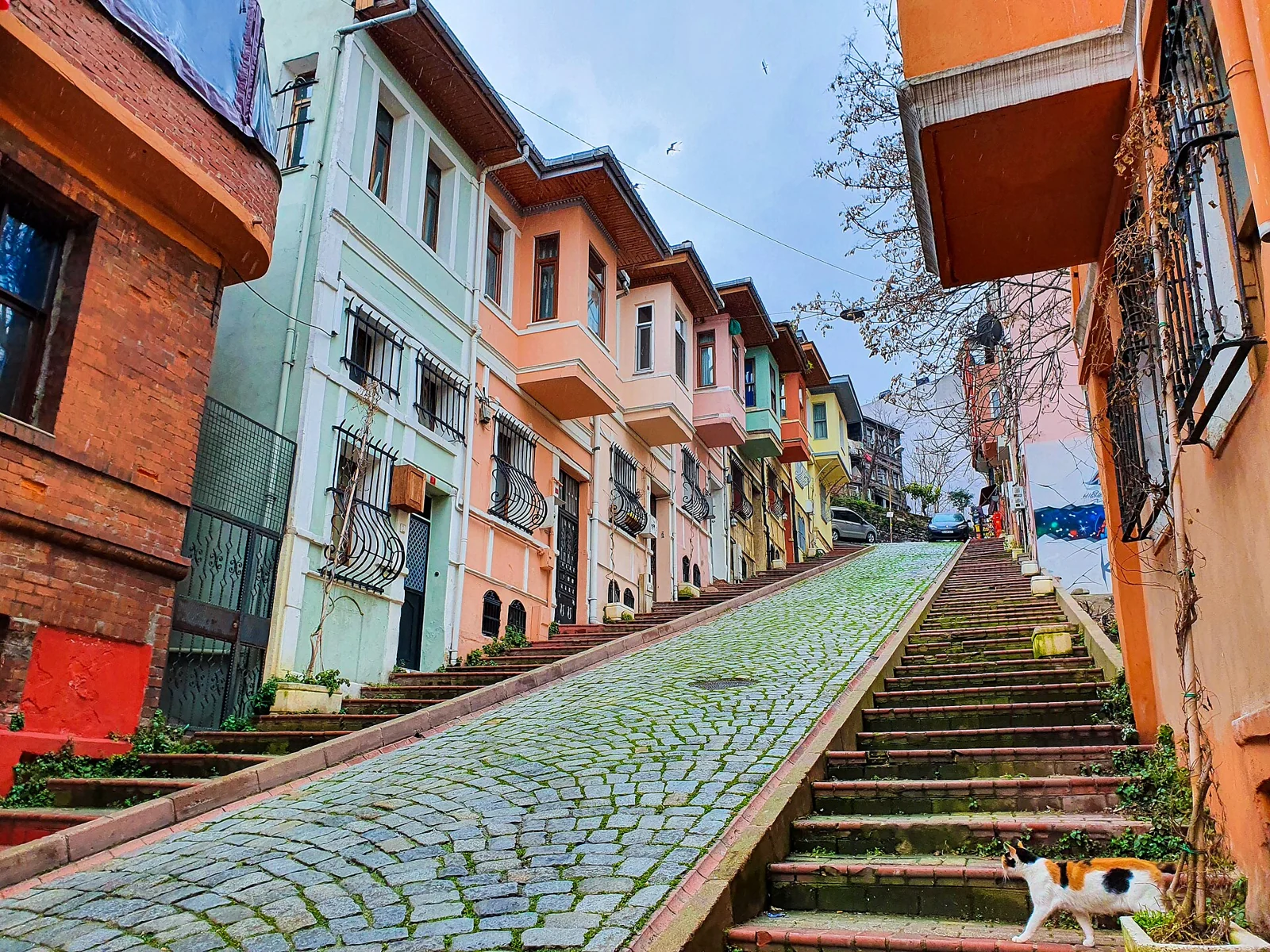
Leave the tram for Balat’s neighbourhood streets, then work your way towards Fener around Vodina and Yıldırım streets. You will find historic houses, cafés and the red outline of the Fener Greek school above the neighbourhood. The school is an exterior landmark on this walk, not an included visitor attraction.
Return towards the Golden Horn for a less hilly finish. The water here is the inlet called Haliç in Turkish. You can enjoy the streets and the shore without arranging any interior visits; churches, synagogues and other places of worship have their own access rules. Save those for a separately checked plan.
Keep it shorter. Keep to the lower streets between Balat and Fener and finish by the shore. Skip stair streets if uneven surfaces or hills make the walk less comfortable.
Before you go: Popular photo streets are residential. Keep entrances clear, ask before photographing people and avoid blocking narrow pavements.
Belgrad Forest: the Neşet Suyu circuit
A woodland choice for a day when getting out of central Istanbul is the point of the outing.
- Distance
- About 6 km for the established circuit
- Allow
- Allow 1½–2 hours walking, plus breaks and transport
- Start
- Neşet Suyu walking-track entrance in Belgrad Forest
- Finish
- The same track entrance
- Underfoot
- Forest paths with earth, roots and possible mud
How to get there
The M2 metro to Hacıosman and İETT bus 42HM towards Bahçeköy get you to the wider area. Bahçeköy is not the Neşet Suyu trailhead: arrange the remaining journey and the return before leaving. A taxi journey to the track entrance can simplify that final section.
Your walk
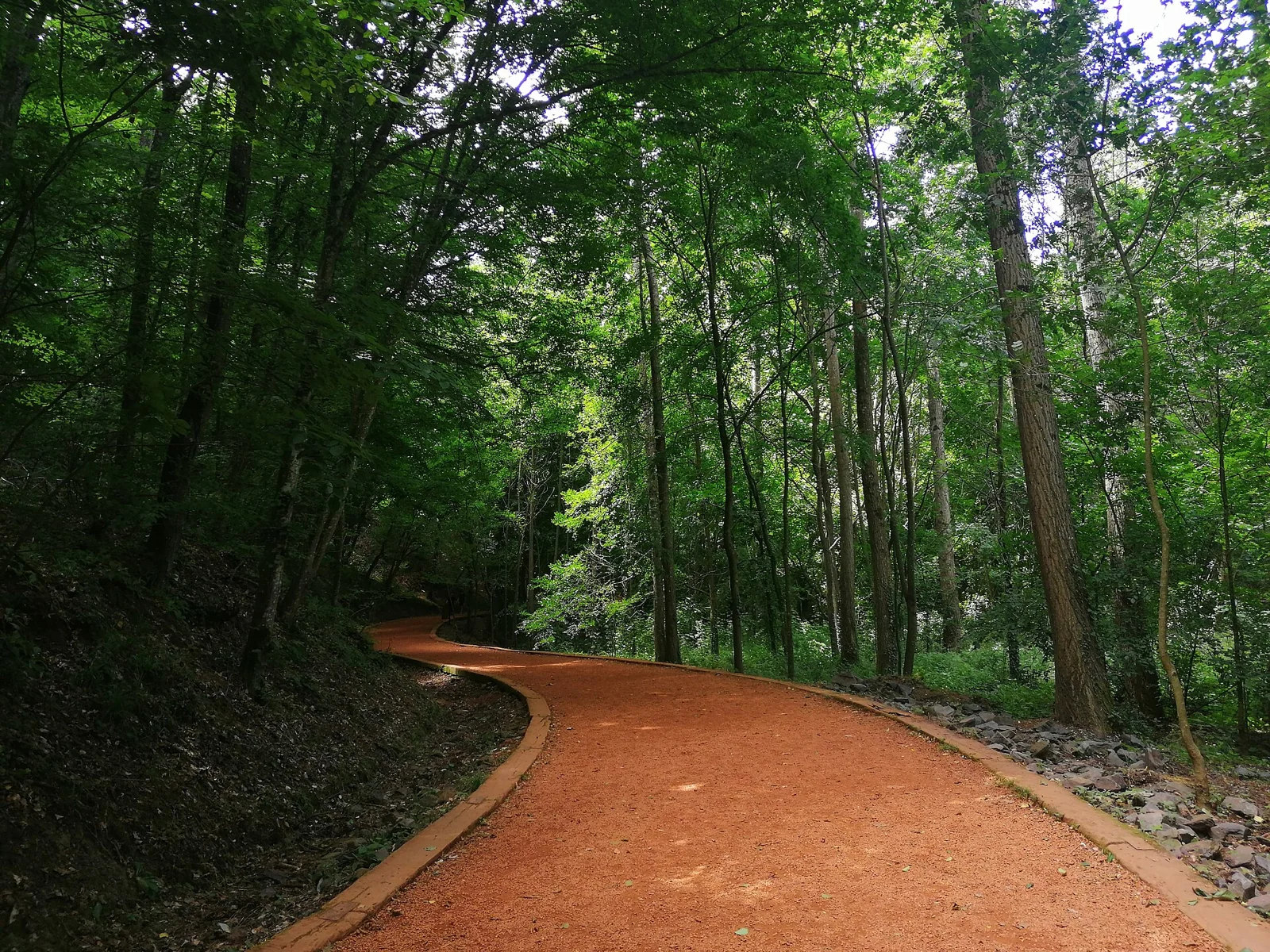
Go specifically to Neşet Suyu, rather than choosing a map pin anywhere in the large Belgrad Forest. İBB lists its established circuit at 6 km. At the track entrance, confirm the circuit signs and follow the designated path, returning to your starting point.
This is a different outing from the paved city walks. Wear shoes with grip, bring water and allow time to reach the forest and get back. The Google Maps button locates Neşet Suyu; it does not navigate the forest circuit. Use the signs on the ground and confirm the open route before starting.
Keep it shorter. Choose a short out-and-back on an open, clearly marked path and return the way you came. Do not improvise a shortcut through the forest.
Before you go: Check current forest-entry restrictions and conditions before travelling, particularly during hot, dry weather. Finish in daylight and confirm any entry charges locally.
Tarabya–Rumeli Kavağı: a longer northern Bosphorus outing
Give this a separate half-day if you want to see more of the northern European shore.
- Distance
- Plan for roughly 8 km on the full route
- Allow
- Around 2–2½ hours walking; allow longer for stops and transport
- Start
- Tarabya bay waterfront
- Finish
- Rumeli Kavağı ferry pier
- Underfoot
- Mixed coastal pavements, road sections and narrower stretches
How to get there
Use the M2 to Hacıosman with an onward İETT bus to Tarabya; route 25Y serves Tarabya İskele. At the finish, check the current Rumeli Kavağı–Eminönü ferry timetable or bus options before depending on a boat home.
Your walk
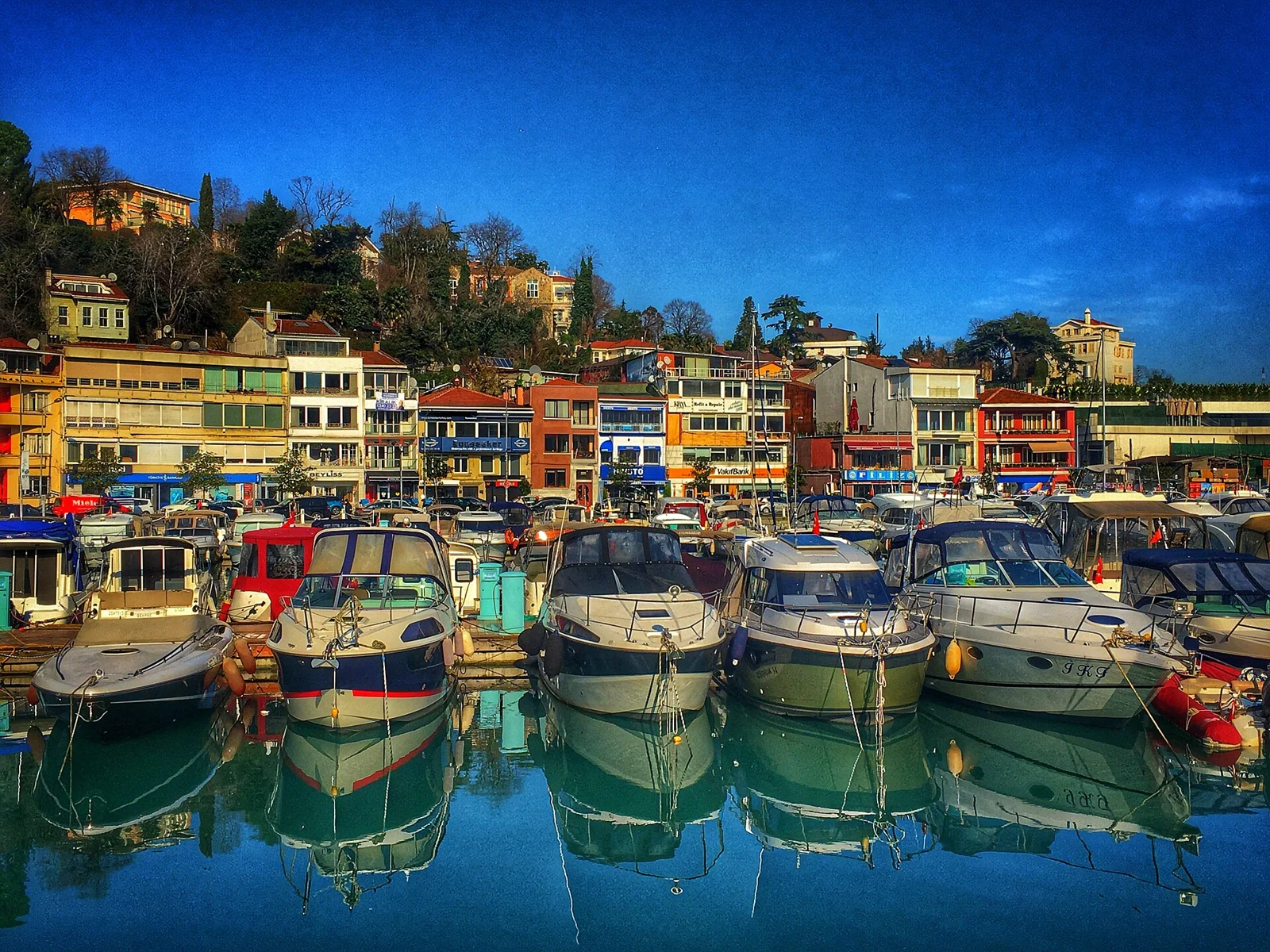
Head north from Tarabya towards Büyükdere and Sarıyer, then continue to Rumeli Kavağı if you still have the time and energy. The bay gives way to different neighbourhood waterfronts as you move up the strait. İBB lists the Tarabya–Rumeli Kavağı running route at 8 km; your distance varies with the precise start and any diversions.
Treat this as a mixed pavement-and-road walk. The whole route is not a continuous park promenade, and quiet water does not mean quiet traffic. Keep a practical option to stop in Sarıyer rather than making the final pier an obligation. Rumeli Kavağı is on the European side; Anadolu Kavağı is across the water.
Keep it shorter. Finish in Sarıyer after the earlier waterfront sections, then use public transport. Check the chosen connection while you still have daylight and mobile reception.
Before you go: A ferry return may not match your arrival time. Check the specific pier, direction and last useful departure before committing to the full walk.
Yenikapı–Ataköy coast: choose the shorter Samatya section
For a first visit, walk from Yenikapı towards Samatya and finish at Kazlıçeşme rather than aiming for the whole corridor.
- Distance
- Allow roughly 5–6 km for the suggested section and station access
- Allow
- Around 1½ hours walking; allow 2–2½ hours with breaks
- Start
- Yenikapı waterfront park area
- Finish
- Kazlıçeşme Marmaray station, via the Samatya coast
- Underfoot
- Open coastal paths, road crossings and an inland station approach
How to get there
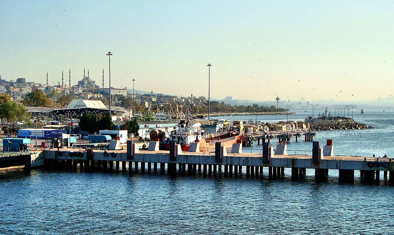
Yenikapı is served by Marmaray and the M1/M2 metro lines. Allow a separate walk from the station to the public shoreline. Finish by following a safe signed route inland to Kazlıçeşme Marmaray.
Your walk
Join the public coast at Yenikapı and head west towards Samatya. Follow open park paths and permitted pavements, stopping for the broad Marmara view. Around the Kazlıçeşme area, turn inland for the railway rather than continuing simply to complete a long list of places.
The full Yenikapı–Ataköy Marina corridor is a much bigger undertaking: İBB lists its running route at 15 km. Marina boundaries, road access and diversions can affect the walk, so do not plan it as a short, uninterrupted promenade. If Ataköy Marina is what you want to see, travel to the Bakırköy area separately and check access there.
Keep it shorter. Enjoy a short out-and-back from Yenikapı’s open shoreline and return to the same station area. The walk can be worthwhile without reaching Samatya or Kazlıçeşme.
Before you go: Coastal roads and works can separate parts of the route. Use designated crossings and follow diversions; the shoreline itself is not always a through-route.
A self-guided day in Beyoğlu
For a European-side neighbourhood walk, follow our detailed Beyoğlu walking route.
Questions before your first Istanbul walk
Which Istanbul walk should I choose on my first visit?
Choose Kadıköy–Moda for a manageable neighbourhood afternoon with food stops, Salacak–Üsküdar for the skyline, or Kuruçeşme–Arnavutköy–Bebek for the Bosphorus. Start with the shorter version if you have already spent the morning sightseeing.
Can I do all eight walks in one day?
No. They are spread across Istanbul and are alternatives for separate outings. Choose one main walk for the day, with time for transport and a meal. Belgrad Forest and the northern Bosphorus need more travel planning than the central neighbourhood walks.
Which routes are on Istanbul’s Asian side?
Caddebostan, Kadıköy–Moda–Fenerbahçe and Salacak–Üsküdar–Kuzguncuk are on the Asian side. The Kuruçeşme–Bebek, Balat–Fener, Belgrad Forest, Tarabya–Rumeli Kavağı and Yenikapı coastal walks are on the European side.
Which walk is good for sunset?
Salacak is a strong choice for views towards the historic peninsula and the Maiden’s Tower. Finish there if the skyline matters most. Caddebostan is another option for open Marmara views. The light depends on the season and weather, so check sunset time for your date and leave time to get back.
Are these walks suitable for children, pushchairs or wheelchair users?
Short coastal sections at Caddebostan or Moda may be easier to adapt than Balat’s slopes or forest paths. None of the full routes has been verified here as completely step-free. Check paving, kerbs, crossings and station or pier access for your particular needs, and choose an easy turnaround point.
Do I need tickets or a guide for these walks?
You can follow the city street and public-shore sections independently. Transport, meals, separately visited attractions and some forest-entry arrangements may cost extra. Check current forest access and charges before travelling; no museum, tower visit or paid tour is included in these walking suggestions.
What does the Google Maps button show?
For the city walks, it opens walking directions between the named starting point, key stops and endpoint. Review the suggested streets and follow signs or diversions on the day. For Neşet Suyu, it locates the park so you can reach the trail entrance; use the circuit signs for the forest walk itself.
Leave room for the ferry ride
Choose the walk that fits the time and energy you have today. Keep one food or tea stop, save the Google Maps link, and leave room for the view you decide to stay with.